The Metro Manila Skyway is an elevated highway crossing over much of the existing South Luzon Expressway as of the moment. It is located within the Metro Manila portion of the SLEX and crosses through Makati, Pasay, Paranaque and Muntinlupa. The Skyway begins in Barangay San Isidro, Makati City, and ends in Barangay Alabang, Muntinlupa City. In the future, it will extend further to the North Luzon Expressway via Manila and Caloocan City. source:
Ever wondered how it looks like from the sky? Here are some of the few photos I snapped during our last trip via Airphilexpress in NAIA Terminal 3.......
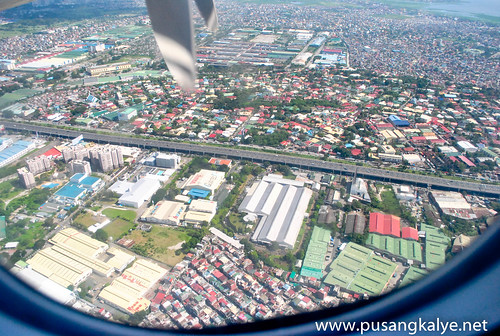
MANILA SKYWAY photos from the sky
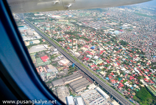
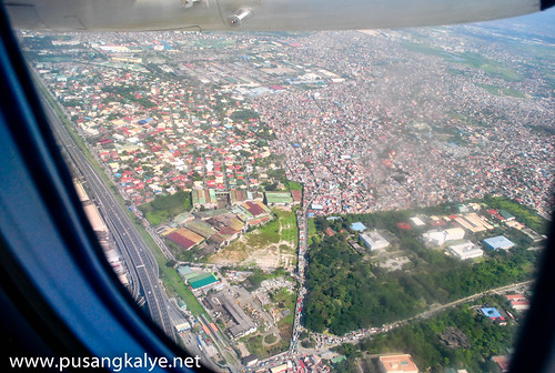
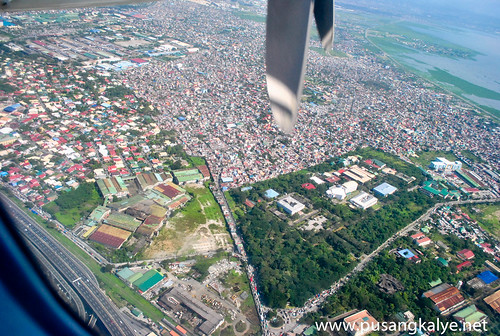
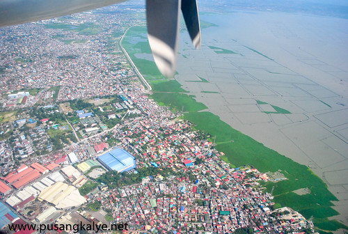
The last photo shows Laguna de Bay. If I am not mistaken, the MANILA SKYWAY was constructed during the administration of President Fidel V. Ramos. It's one the mega projects during his term. Another of which were the excavations of EDSA which was then a flat highway with endless traffic. Edsa is now congested as ever. More projects like the Manila Skyway are needed to ease the problem of heavy traffic in the capital......
____________________
____________________


Maganda talaga ang entire Philippines with bird's eye view. :D
ReplyDeleteso pag lumapag na--pangit na?hahaha
ReplyDeleteikaw na ang nasa pleyn at nakakakuha ng skyway.
ReplyDeleteshushalan ng camera. mabangis
Ang dumi ng laguna de bay.haha
ReplyDeleteayun bahay namen oh! Charot!
ReplyDeletenice.
ReplyDeleteisa to sa mga gudto kung kuhaan ng pic yun sa skyway!!
ReplyDeletewah...naman..gusto ko mag sky diving hehe..ahw...ah..yun pala skywalk hehe ^^
ReplyDeleteNakita ko din yan nung lumipad mey. Di lang ganyan kaganda yung pektyur. LOL
ReplyDeletekinda miss manila!!! argh... wanna go back!
ReplyDeletenapakaganda ng view!
ReplyDeleteganda ng Pilipinas
ReplyDelete